Community & Business
22 January, 2025
No easy fix for Ray Road
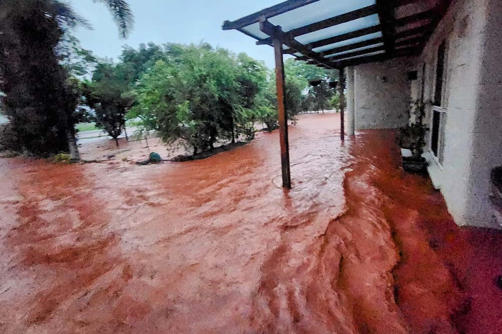
A DRAINAGE study on the Ray Road area has revealed the solution is complex and costly and will likely never stop flooding of properties or the road during extreme rainfall events.

Mareeba Shire commissioned the study after properties were inundated during extreme rainfall associated with Cyclone Jasper in 2023, but it’s not the first time the council has investigated solutions for the area.
Another study was undertaken in 2004 which provided a good level of information on existing drainage infrastructure and associated drainage issues within the Ray Road catchments but “limited advice on drainage corridors conveying flows away” from the road.
The report also provided design options to improve the drainage performance of flooding on roads, but did not give advice on upgrades directly related to properties.
Among the recommendations in the 2004 report was to upgrade the Jennings Road crossroad culvert and airport open drain which have since been completed by council.
But given the issues experienced by residents in the weather events of December 2023, Mayor Angela Toppin said the council acted to have another study done.
“The 2024 Ray Road Drainage Study reviewed the extent of the contributing stormwater catchments, the capacity of the existing drainage and identified possible opportunities to minimise impacts of flooding issues in the area,” she said.
The study highlighted that the Ray Road area was generally very flat and many existing houses on Ray Road, between George Fabris Road and Chinaman Creek, were located within a broad floodplain.
All impacted buildings and dwellings in the drainage area were constructed before 2004, with the exception of one banana farm packing shed, and the existing drainage infrastructure was designed and implemented to meet the required service standards at the time of development.
The study found that potential drainage infrastructure upgrades that may be considered by council, if affordable, included:
• Increasing crossroad capacity commencing from the southern end of Ray Road to limit bypass flows north along Ray Road and cumulative flows arriving at the subsequent culvert crossings;
• Increasing the capacity of existing crossroad culverts coupled with associated capacity upgrades to the open drains downstream from the culverts;
• Increasing the capacity of the existing culvert crossing on the western side of Ray Road at the George Fabris Road intersection to enable runoff to be contained on the western side of Ray Road; and
• Constructing detention basins for new developments proposed within the study area.
However, the study warned that the upgrades would not necessarily prevent flooding entirely due to the significant constraints caused by the size of the stormwater catchment, the nature of the arriving overland flows and the flat topography of the land.
“Following a recommendation from the study, council will formalise a Ray Road Drainage Management Plan to investigate, assess and cost drainage infrastructure upgrade options which may reduce the impacts of drainage and flooding issues,” Mayor Toppin said.
“However, it must be noted that some flooding will always occur irrespective of what
we do.”
According to the study, undertaking the upgrades suggested would minimise the frequency that flooding would impact on the road and adjacent properties.
“More simply, rainfall events contributing to flooding issues would have a probability of being exceeded, on average, once every 10 years instead of once every two years,” the document stated.
Mayor Toppin said once the council completed the drainage management plan, the document would inform council’s future Capital Works program considerations, which prioritises projects that have the most benefit to the shire and can be completed within available budgets.


